NYC Pothole Tracker
NYC Pothole Tracker
NYC Pothole Tracker
Report street hazards, track repair progress with NYC's own 311 records, and hold the city accountable across all five boroughs.
Every 311 pothole complaint since 2020 on one map, and New Yorkers checking the city's records with photos.
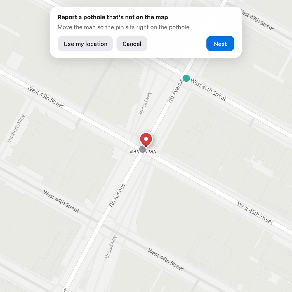
Found one that isn't on the map? Drop a pin, add a photo, and it's added once reviewed.
Report a pothole →
See whether each complaint was fixed, closed without a repair, or is still open. Updated daily from NYC 311.
Open the map →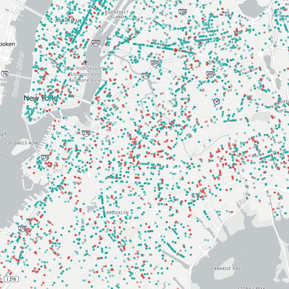
Search any address to see complaints within a quarter mile, including the ones 311 logged without a map pin.
Search the map →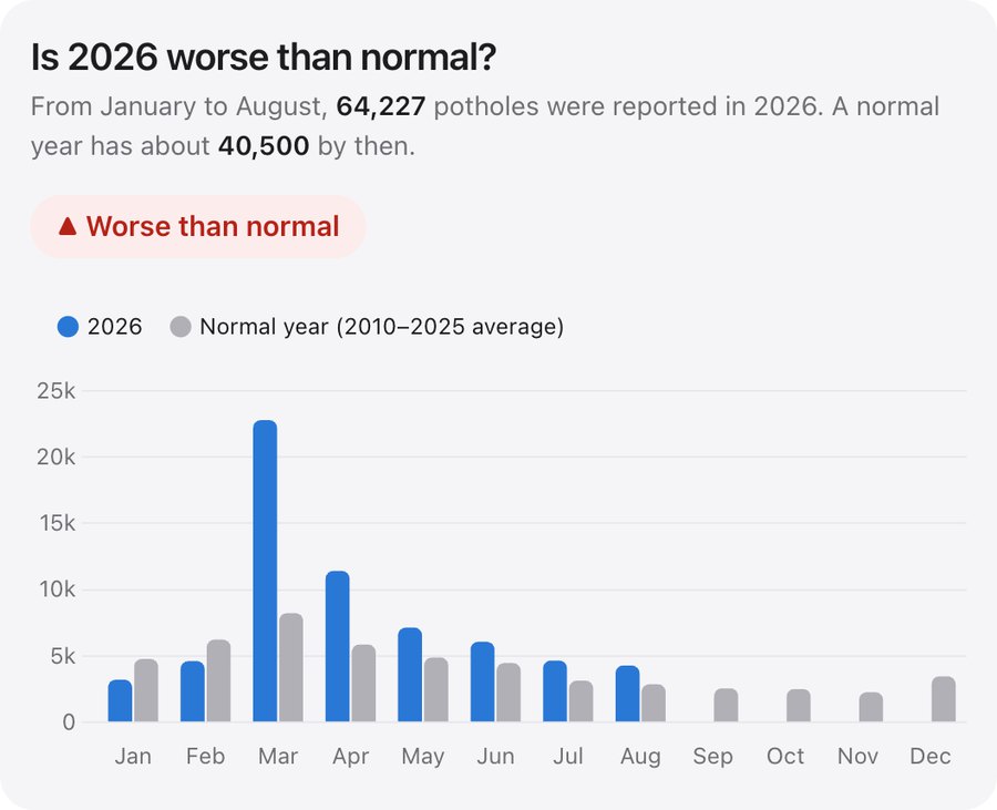
16 years of trends: whether it's getting worse, how fast repairs happen, and how often "closed" doesn't mean "fixed."
See the trends →Live numbers from 311 for each borough. Pick one to see its potholes on the map.
Answers about where the data comes from, how reporting works, and what happens to your photos.
Open the map and tap Report a pothole. Sign in with Google or email, move the map so the pin is on the pothole, and add a photo of the street. It appears on the map once it's reviewed.
From NYC Open Data's 311 Service Requests, the city's own record of every pothole complaint. The city refreshes it about once a day, so the map runs a day or two behind. History back to 2010 comes from the city's archive.
No. This is an independent project, not an official city website, so reports here don't reach 311. To get a pothole repaired, please also report it at nyc.gov/fixmypothole or by calling 311.
Tap any dot on the map to see when it was reported, when the city closed it, and what the city wrote. Photos you send are listed under My photos in your account menu.
Anyone. Browsing the map and trends needs no account. Sending photos or reporting a pothole needs a free account, so every submission can be reviewed.
Every photo is checked by hand before it goes live, usually within a few days. Approved photos appear on that pothole, and its dot updates to what the photo shows.
The city sent an inspector and they didn't find the reported pothole. That happens to about 1 in 10 complaints. Photos from residents help show which records are right.
Photos are shrunk and stripped of hidden location data before upload, and become public once approved. Your email is never shown. See the privacy policy.
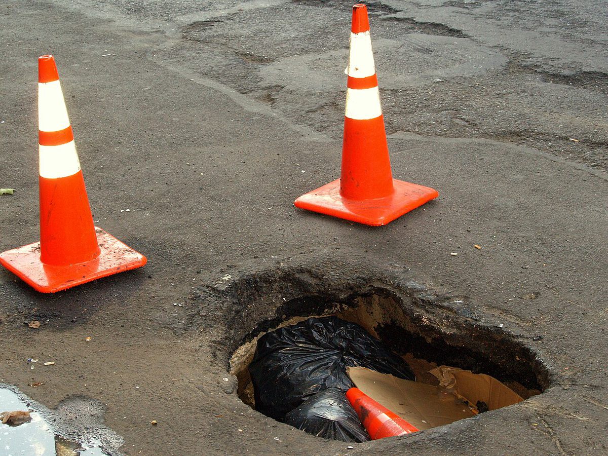
This platform unites New York City residents to report street damage, check the city's repair records, and improve local infrastructure. It maps every 311 pothole complaint, including the roughly half the city records without a map location, and lets New Yorkers confirm with photos what's really on the street.
An independent project built on public data. Not affiliated with the City of New York.